The Clarke County Development Corporation (CCDC) approved funding in the amount of $43,552.80 to continue their commitment to the Clarke County GIS system and the support of accurate geological and land survey information for Clarke County, Osceola, its businesses, and their residents. This grant will go toward annual costs of photography for the mapping system that provides the base imaging data for all of Clarke County, Iowa.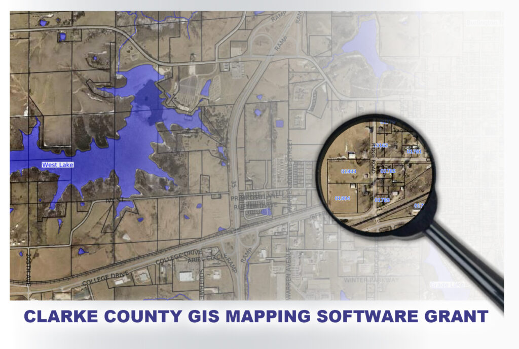
“We use the GIS system extensively,” said Ty Wheeler, Osceola City Administrator. “The software provides us current and accurate mapping capabilities for all of our utility data and mapping for infrastructure management. It’s pretty critical for us.”
Six years ago, the CCDC board along with the Clarke County Supervisors office and the city of Osceola joined in a venture to provide funding to support Clarke County’s GIS imaging system. The GIS system, available through the county assessor’s office, is a mapping program of the entire county providing land data and infrastructure data to city and county officials as well as numerous businesses and individuals dependent on accurate geological information.
“The GIS system is used a lot by businesses outside County or City surveying purposes,” said Heidi Henry from the Clarke County assessor’s office. “It provides a more up-to-date record of land and infrastructure development than other systems.”
GIS stands for Geographic Information System. It’s a software used to create, manage, analyze, and map data related to locations across the county. In simple terms, GIS can be thought of as a super-powered digital map that not only shows you where things are but also lets users see and analyze a variety of information, including property lines, road and highway infrastructure, as well as utility and other critical data for municipalities and city planners. GIS is used in many fields, from urban planning and environmental sciences to transportation and the management of land and water resources.
“I use it every day,” said Doug Miller, CCDC Board Vice President and owner of Friday Insurance out of Osceola, Iowa. “Programs like Google Maps just don’t have the current data necessary for the work we do.”
The imaging discussed in the grant request includes annual aerial photography that is integrated into the Clarke County GIS software. The imagery and frequent updates to infrastructure records and land survey data, empowers the Clarke County GIS program, providing a higher level of information for end users. These updates, compared to other geological mapping programs, are more frequent and provide information that is often missed over time.
“There are several counties around us that don’ have this kind of deep information,” said Helen Kimes, CCDC board representative and Broker-Owner of Saylor Realty. “Without it, agents can’t access to important residential and commercial real estate data.”
The grant request included a six-year commitment from the CCDC for annual payments of $7,258.00, funding of the GIS program photography and imaging updates.
If you have questions about the Clarke County GIS software or access to the GIS system you can visit the Clarke County assessors web page at https://clarke.iowaassessors.com/index.php, or reach out to Heidi Henry at phone: 641-342-3871, email: hhenry@clarkecountyiowa.org.